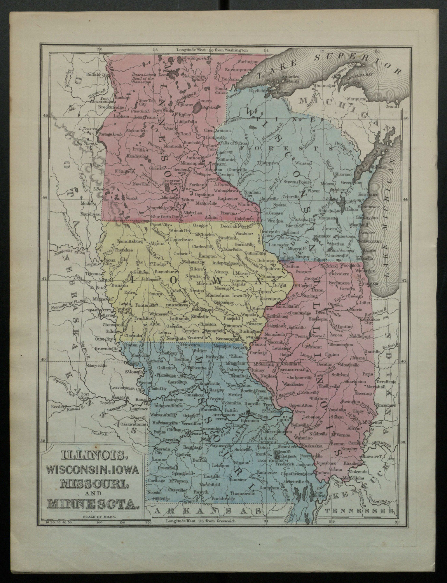
Illinois, Wisconsin, Iowa, Missouri, and Minnesota.
Information About This Item
Title
Illinois, Wisconsin, Iowa, Missouri, and Minnesota.
Publisher
[Place of publication not identified]
Date
1866
Description
Map is p. [48] from a geography textbook./ On verso: "Questions on the map of Michigan, Ohio, Indiana and Kentucky."/ Northern border of Minnesota is omitted.
Relation
Subject
OCLC: 10058352
Format
1 map color 27 x 21 cm; Scale 1:5,000,000 or 1 in. = 79 miles (approx.).
Type
Map.
Coverage
United States.